Introduction
In an era where technology drives convenience, Google Maps has stepped up its game by incorporating AI-powered public transit crowding predictions in various U.S. cities. This innovative feature aims to enhance the commuting experience for millions by providing real-time data that helps users make informed decisions.
The Evolution of Google Maps
Since its inception in 2005, Google Maps has undergone numerous transformations. Initially, a simple mapping tool, it has evolved into a comprehensive navigation platform that includes traffic updates, street views, and now, crowding predictions. The adoption of artificial intelligence marks a significant leap forward in its capabilities.
Understanding AI-Powered Predictions
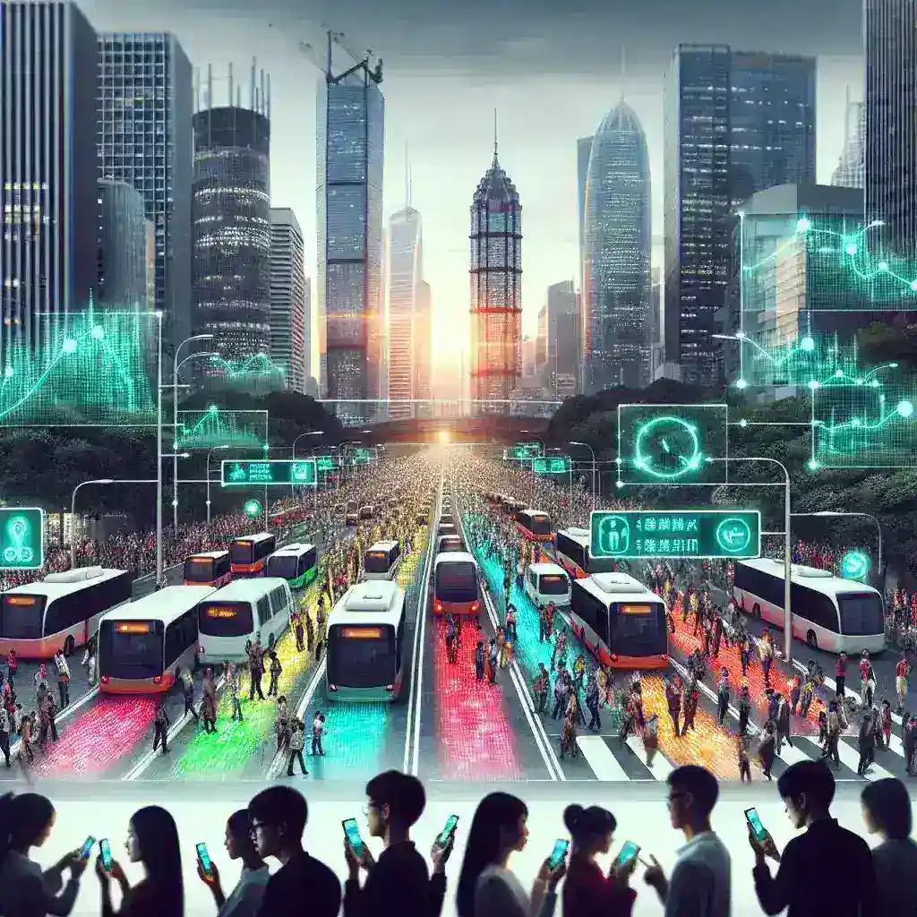
Artificial Intelligence (AI) is at the forefront of technological advancements, enabling systems to learn from data and improve their predictions over time. Google Maps utilizes machine learning algorithms to analyze historical data and real-time inputs from various sources, including users and transit agencies. This helps in predicting crowd levels on buses, subways, and trains.
How It Works
Data Collection
Google Maps collects data from multiple channels:
- User Reports: Commuters can report crowding levels in real time.
- Transit Agency Information: Official updates from transit agencies regarding schedules and crowding.
- Historical Data: Previous crowding patterns based on time of day and season.
Machine Learning Models
With the collected data, Google employs machine learning models to analyze trends. These models consider factors such as:
- Time of day
- Day of the week
- Weather conditions
- Holidays and special events
The AI system continuously learns and adapts, improving the accuracy of its predictions over time.
Benefits of AI-Powered Crowding Predictions
Enhanced Commuting Experience
One of the primary advantages of this feature is that it offers commuters a smoother experience. By having access to crowding predictions, users can:
- Choose less crowded transit options
- Plan their journeys more effectively
- Reduce wait times
Encouraging Public Transport Use
As cities strive to promote public transport usage to alleviate traffic congestion and reduce carbon footprints, this feature plays a vital role. By improving the overall experience, more people may choose public transit over personal vehicles.
Real-Time Adjustments
With AI predictions, commuters can make real-time decisions based on current conditions. For instance, if a user sees that a particular bus route is exceptionally crowded, they may choose to wait for the next one or opt for an alternative route.
Challenges and Limitations
Data Accuracy
While AI technology holds great potential, it is not without challenges. The accuracy of predictions heavily relies on the quality and quantity of data collected. Insufficient user reports or inaccurate transit agency data can lead to misleading predictions.
Privacy Concerns
As with any technology that collects user data, privacy remains a significant concern. Google has to ensure that user information is handled responsibly and transparently to maintain trust.
Cultural Relevance and Adaptation
Different cities have unique transit systems and commuter behaviors. Google Maps must adapt its AI models to suit the cultural and infrastructural variations across U.S. cities. This customization is essential for the feature to be effective in diverse environments.
Future Predictions
Expanding the Feature
As AI technology evolves, we can expect Google Maps to enhance its crowding prediction capabilities. Future updates may include:
- More precise real-time updates
- Integration with other travel apps
- Personalized suggestions based on user habits
Global Expansion
While the current rollout focuses on U.S. cities, there is potential for expanding this feature internationally, benefiting millions of commuters worldwide.
Conclusion
Google Maps’ integration of AI-powered public transit crowding predictions is a significant step forward in urban mobility technology. By providing users with real-time, actionable insights, it stands to enhance the commuting experience and promote the use of public transport. As technology continues to advance, the potential for even more innovative solutions in public transit is vast, paving the way for smarter cities in the future.